Blog Archive

The Bung Jagoi Heritage Centre Hike and the Bung Tesen Peak Viewpoint

With just around 320 meters above sea level, the Bung Jagoi it's one of the most family friendly trail available in Kuching. The trail is super easy to hike, and suitable for children and old people, a good weekend gateway. Not to forget it also has a very nice viewpoint on the summit peak. 
And if hiking is not your cup of tea, you can also bring your family to the waterfall, just a few mins hike at the base of the mountain. 

There is a big parking space for your car, a few ringgit per car.

This is a restaurant, and we paid our entrance fees here. They also offer daily tour package, which includes food. 
A friend of mine bring his 70+ years old mother and two young children to hike together, and impressively she made it to the summit. 


A waterfall trail just below the mountain. Good for children, as I know my children like to play in the water more than hiking to the summit. 

Very clear water from the mountain. 


view along the way to the summit


A souvenir shop a few mins before the summit peak viewpoint 

Villages use to stay here, but now most of them moved away. And converted some of their houses to local homestay

A traditional Bidayuk Baruk House

This is how the interior looks like


Continue on to the peak


So the summit peak is called Bung Tesen

A very easy and relaxing hike, you don't even need to break a sweat.

Enjoying the breaktaking panoramic view, further away will be the village like Kampung Serasot, Skibang, and the mountain range part of it will be the Bung Beratak at the right, and Gunung Udan (according to multiple maps which I can get online)


The abandon village houses at the summit of Jagoi

Bung Jagoin


The Infinity Tires of Waterfall at the Berumput Mountain Range

This is my guide, Tony, its been a while since we meet. When I first hike to the Kanyi back in 2015, he and his brother its the ones who guides us to the summit peak, that is how I know him and his brother. 

Tony contact its +6017 805 5684 

The Sungai Sebako Besar, if you look closely, you can see children sitting on top of the bolder. 
I saw how they can jump from one end to another just like money 😲 

After the hydropower station, make sure you warm-up, and walk up this stairway slowly. 
One of our hiking buddies, he was in his 70s, when he's about to reach the top, had a little problem with catching his breath, so we all stop and make sure that he is ok.
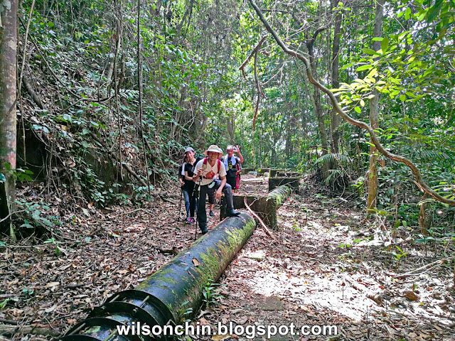
The old water tank 

I'm hiking with my senior, one of the person who inspires me on exploring Sarawak. I nickname him Mr. Professor Ong. He is sitting next to me, in a black t-shirt.


Tony told me that this is where the deer rest, they will clear a small area, and rest there at night. Most of the wildlife is only active at night time. 
Clouded Leopard active at night time
Cute little deer eating the leafs in the jungle.

Sun halo day

Crystal clear water


Level 5 waterfall hike, which you will need a rope to hike up.
After you reach the top, you can stand at the edge like me to take a photo of the whole waterfall.

This is how it looks like on top. 


Time for some drone 😎 I want to get a clear view on how is the waterfall look like from high up.
If you want to come here, please contact Tony at +6017 805 5684. 
Tony and his brother are local villages who were born and grow up there.
Please support the locals by providing some income for them. 

Their life can be tough sometimes, with the price of the crop are very unstable sometimes. 
Sometimes there are also people who never inform the local and just went in the waterfall by themself,
but when something happen, its the village there who needs to go and help.

Please be a responsible hiker, and help the local community there. It will not cost you much money.
But that money can help them feed a family.
Thank you.

Distance: 3km
Time: 2 hours