Blog Archive

Miri to Segah Selaan Homestay | Ulu Baram Exploration | Post 1 of 5

The Baram River, is Sarawak’s second longest river. Drains much of the northern region, and its home to many of the Orang Ulu tribes, they are the Kayan, the Kenyah, the Berawan, and the Penan.

Baram River rising in the Iran Mountains, it flows 400 km west and northwest, mostly through primary rain forest to the South China Sea at Baram Point. Above the lowest 100 miles, gorges and rapids make upstream navigation difficult.

Must of the Ulu Baram region is highly inaccessible, and some may even take whole day to travel by only a 4WD.

Batang (means "trunk" in Malay) is the name used for the main river in the river system such as "Batang Baram" (Baram river). For upriver areas, such as the areas surrounding the headwaters, the place is named as "Ulu" (which means "upriver"). For example, "Ulu Baram" is the upriver part of the Baram river.

"Long" meaning "confluence" is used by the Orang Ulu (upriver people). It is used to name the places located at the confluence between the smaller tributaries and the major river.

I'm going for a 6 days 5 night exploration trip to Kedaya Telang Usang (Kenyah Language) Ulu Baram. Will stayed at the Segah Selaan Homestay, and then will continue to explore the surounding.

The Ulu Baram comprises of villages from Kampong Long Silat to Kampung Lio Mato in the main Baram River, and from Kampong Long Makaba to Kampong Ba'Purau in the Silat River.

So joined together with two of my conrate-in-arm they are Tan WeeMing and Ian Vong, two hikers friends of my from Kuching.

We start our journey from Kuching, took an early flight to Miri. And our transporter Mr Arthur (also the owner of the Segah Selaan Homestay) picked us up on the Miri airport.

Then, after breakfast, we continue our journey to Long Selaan where the homestay its.


          • From Miri to Long Selaan
          • Distance: 250km
          • Travel Time: 6 hours
          • Travel by 4WD

The drive take approximately 6 hours (2 hours driving from Miri to Lapok Town (on tar road) and another 4 Hours on logging road). Going through Peninjau Palm Oil Plantation and Bakong Road.

We had our lunch at Lapok the Cowboy Town before continue the journey along logging road. Start from here we already can witness the scenic view of green mountain & forest.


3 hours into our journey, and Arthur bring us to a hidden stream to take a short break. 


Look at the mountain behind me, with the beautiful peak on top. The name of the mountain according to Arthur, its call Gunung Kelulung. 

This is the Long San Bridge of Baram River, the river are very wide. And the water are yellowish.


After a 6 hours drive, we finally reach the place we will spend the night, the Segah Selaan Onestop Homestay (SS1SHS)
Upond entering the homestay compound, I would say I'm quite impress with this place. Its very clean and neat. It has a wide place with couple of table and chairs for people to have meal.


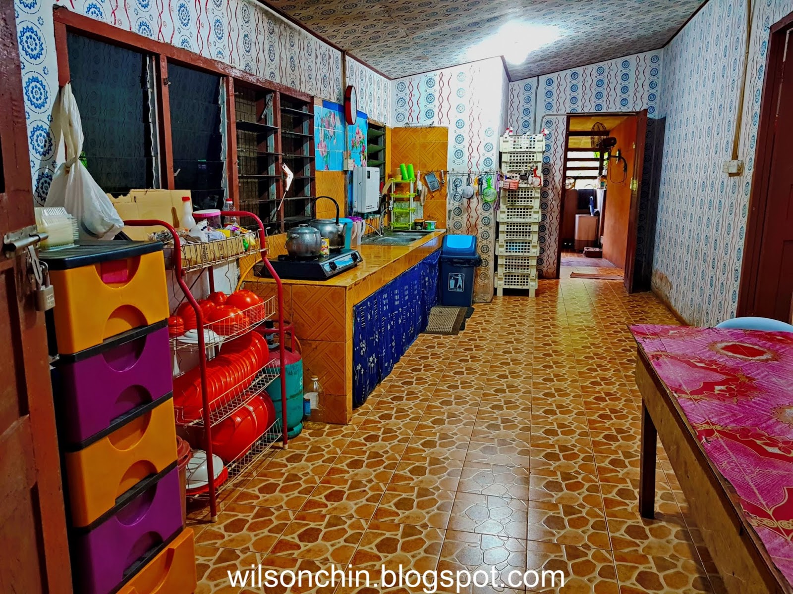
The Homestay also have a halal kitchen, where one can cook their own food here.
There is a corner where they sell all the craft made by the local tribe people, they have bracelet, basket, blowpipe, necklaces, floor matt, and etc.

Also a grocery store which sells daily usage item, food, water, to motorcycle spare parts.
This is the 1st floor, where all the rooms are. We have 3 person, so we stayed in a triple sharing room. Each of us have a queen size bed, and a sharing table stand fan. Its cold at night, so the fan its more than enough. 

Outside the room its this big space, where we can sit on the sofa provided, and hangout with our friends. There are two bathroom its at the back, and one inside the room compound. 
Whereas on the outside, there are 3 small hut for people to chill there, there is also a hut with barbecue pit.
 Fresh honey to harvest just behind the homestay
 Sweet and juicy oranges plant at the homestay, we were serve everyday with these orange 

Generators running simultaneously to supply electricity to the homestay, this is a big plus, as we can charge our phone and camera batteries. And can have light and power-up the fan at night.
  
After crossing this bridge, the homestay will be on the left, and a small village on the right. That's the Selaan river.
The view of the homestay on an early morning, next to the homestay its a small hill, and have plantation like pineapple, banana, flowers, and they even raise bee. So they do sell fresh honey after they harvest from the bee hive.
The homestay on a misty morning, we can never enjoy such fresh air, only in the village we can have such privilege.
Our meal for the first night, and we have Semah fish, wild boar meat, and local veggie. All cooked by Arthur's older sister.
And I like it very much, Arthur's sister can cook very well, its very delicious. The three of us are very satisfy with the food we ate that night.
After our dinner, we then get ready for tomorrow camping trip, as we are going to camp on the upper part of the Tekiwit waterfall. So we are getting ready food for 3 person, Lunch, Dinner, and breakfast on the following day.
Oh, we might add in extra food.... a cute little CAT 😋😜

More Information about the home-stay
Segah Sela'an One-Stop Shop & Homestay its a place where you must visit if happen to be at the Ulu Baram area. You can contact Arthur to ask for suggestion on where to visit, and what activities that you can do there. The contact details are as bellow:
Contact Person: Mr Arthur +60 16 894 4271
Email: segahselaanhomestay@gmail.com

To read the complete post, click on the link bellow.

To be continue ---

Protected Mangrove National Park | Canoe at the Limpaki Wetlands Limbang, Sarawak

Limpaki is located close to Kampung Limpaki and about 15 km away from Limbang town.. Limpaki wetland is an estuarine wetlands where the Limpaki river meets the sea thus creating a mangrove swamp. The mangrove forest is inhabited by mammals (proboscis monkey), snake (cat snake), reptile (crocodile), amphibian, birds (owl), and insects (firefly). Its river teems with fish, prawn, crab and clam. It also has many species of mangrove plants.

One of the best ways to absorb and enjoy the Limpaki mangrove forest is via canoeing. Unlike cruising by motor-boat, paddling does not make loud noise to scare away the wildlife and it is a good way to work out and be up close to nature.

Clive Lim showing some of the attraction which we may encounter when we paddling along the riverbank.
The place where we start to paddle our canoe, at the Kampung Limpaki. We unload the canoe into the riverbank, and need to walk on the muddy bank into our canoe, so get ready for some mud on your feet. 
That morning the water are shallow, as it was still low tide, I can see the river bed easily. With some small fishes swimming around.


Beside wildlife watching  we can also experience other activities such as to fishing and crab catching. But we didn't try it, so we just canoe where the river takes us.
 I'm worry of sunburn, so have to cover up my face, and my arms.
Two local villages just came back from fishing, they are on a motorboat
 Full of mangrove along the riverbank

A signboard indicates that this area is a protected national park, therefore no hunting, no chopping down the mangrove trees.
The weather was too warm until I have to take off my life jacket, I know how to swim, so I guess its ok to do so.


Slowly paddling into a bigger river, and this river will eventually lead all the way to the Limbang/Brunei border, and we can paddle into the Brunei territory, but that's illegal trespassing, not recommended.

 After that, we slowly paddling where we started, back to Kampung Limpaki.

And now the water level had raises, the muddy water makes it impossible to see underneath the riverbed.
  A fisherman showed us his catch, he spend a night at the river. 
That's the end of our trip, overall its was a fun trip, I highly recommend you go for it when your at Limbang. Till next time, see you in my next post.


GUIDE CONTACT
Mobile : +60 13 844 3861 (Mr Clive Lim)
Email : walktomulu@yahoo.com.my
Website : www.walk2mulu.com


Total Distance: 3.06 km
Time: 1h
Min Altitude: 9 m
Max Altitude: 12 m