Blog Archive

A 6 Hours One Way Mount Santubong Summit 1 OFF TRAIL Trekking

Normally when hike Mount Santubong, we will hike from either the park HQ entrance, or from Bukit Puteri, I joined a few of my hiking friends that day to hike mount Santubong, and this is from the South side, this will be an off trail hike.
The entrance its belongs to a Malay family, and they are kind enough to let us park our vehicle in front of their compound.
The trail start off with a flat ground, and many pitcher plant here and there. Most of them are no more bigger than the palm of my hand.


I think because there are less people here, so there are many mosquito. 

A dry river bed, we start to descent. 


We saw the national park boundary signboard, we are in Santubong National Park boundary now.


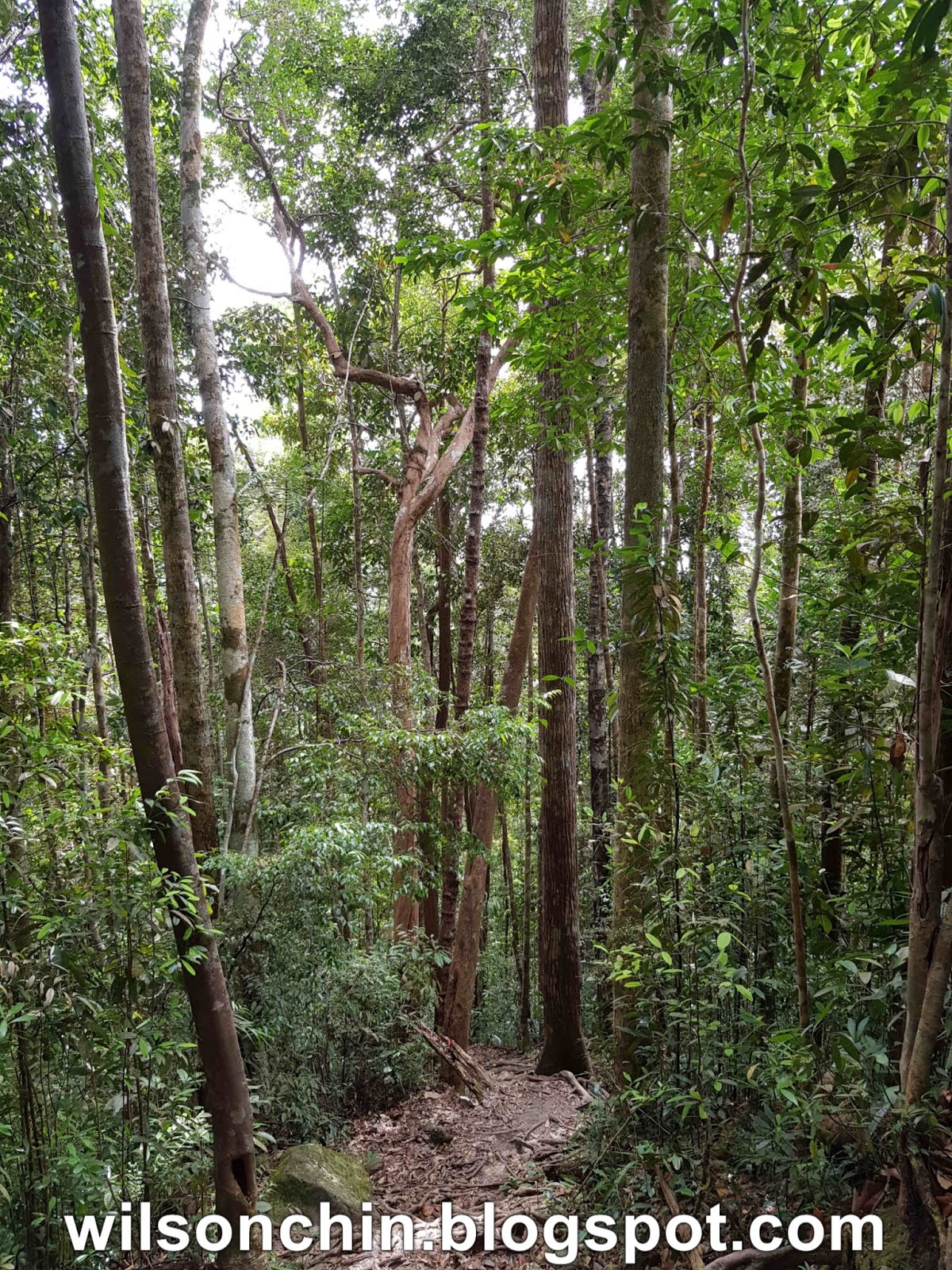
The landscape are getting steeper

Some of the rock face are 90 degree, no way to climb over it. But have to go around it.


Reached a view point, in front of us its the summit 1 of mount Santubong

Any idea this is from what animal?


One part where we are barely have anything to step on, its just on the edge of the cliff. 
This is the point where summit 1 meet with summit 2, the big gully between the two peaks.

Last push to reach the summit

And here I am, the usual summit 1 view point of Mount Santubong
We descent by using the official route fix by the national park ranger

Pantai Putery beach.
TRAIL INFORMATION
Distance: 3.85km (one way)
Time: 5h 51min
Elevation: 774

HIKING VIDEO

Kampung Bunga Climbing The Mount With Strong Breeze At Bung Sadung, Serian, Kuching

 Area view of Kampung Bunga, Serian. The highest peak at Kampung Bunga mountain range its 753 meter above sea level.
 Kampung Bunga its situated on the Kuching-Serian road, about 10 mins drive from Serian town.
 Before we hike, we will need to register all our names with the village community 
 We are also been given a safety briefing before the hike in case some emergency happen. 
 And yes, its also the first time that we are given a warn up exercise before hiking 😅
A group photos
 Start our hike

 The trail head with a signboard and a big green arrow pointing to the left

 Pass by farm
 There are a lots of bamboos along the trail, some are very big size bamboo.


 The trail are well maintain by the village mountain trail community


 More bamboos


 The trail are mostly ascending, and there are two rest hut. 
 The last rest hut will be near the summit, if you reach the hut around 10am, you get to enjoy very nice breeze, its constant breeze, just nice to cool you down for the time being.
 The highest point, the mount Sadong of Kampung Bunga, Serian


 Able to view Serian town from far away


Trail Information
Distance: 3.9km (one way)
Time: 2 h 28 min
Max Elevation: 722 m
Video of my Hike