Blog Archive

The 100 Meter Single Drop Selaan Tekiwit Waterfall |Ulu Baram Exploration | Post 2 of 5

From Segah Selaan Homestay to RH Ba Data Billa (village) trail head of Tekiwit waterfall
My backpack was the middle one, I checked after that and it weight at about 11kg. The thing that made it heavy I think its mostly my drone, the spare batteries, 3 litters of water, and my hammock. 
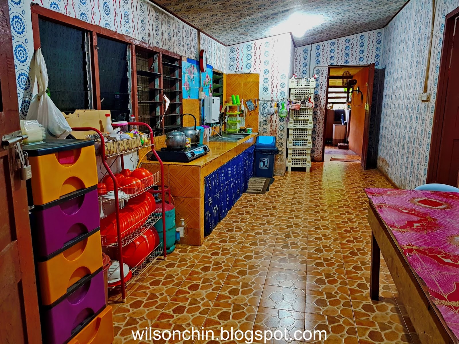
Today my friend and I will be going to the Tekiwit waterfall, and we will camp there for one night, on the upper part of the waterfall. Before we depart, we had our breakfast, which is prepare by the homestay. Its was very delicious, as we had fried rice. 
07:15am, we start our journey from Segah Selaan Homestay, to the RH Ba Data Bila (village), the distance its about 20km, and takes about 1 hour of 4WD ride. We get to enjoy beautiful misty scenery along the way, and I love it very much.
 08:15am, reached the jungtion of RH Ba Data Bila (village) and behind me its the majestic Mount Murud Kecil mountain range.
We asked Arthur to drop us at the junction, and we hike to the village slowly while enjoy the scenery around us.
One of the villages is kind enough to show us his carving, and to my surprise it was a blow pipe, and is crafted with a beautiful handle and the dayak tattoo pattern. 
08:40am, start our trekking at the trail head. Start from the village house, and then continue on to an abandon logging trail.
The logging trail had many shy grass (Mimosa pudica), this reminds me of my exploration to the highest waterfall, Julan waterfall on year 2017. The trail head its also an abandon logging road, and also has shy grass on the trail, which causes both my legs to have scars. 
I was expecting a smooth trail this round, that's why I use short pants.....😓

09:07am, to go to the base of the waterfall, and if you reach this rest house, it means that you're halfway there already.

I'm very fascinated by the rock formation, multiple layers of the earth crust. I believe when the water are strong, its going to be a fun place to play water slide.

The trail to the waterfall base are nicely maintain by the Ba Data Billa villages, a good effort from the villages, as this will ease the people who wish to visit the waterfall.


09:00am, reached the base of the waterfall after an hour hike. We are welcomed first by a multiple tires of curtain shape waterfall.
 The side view of the curtain fall. I deep my feet into the water, and it was cold!!! 

From the look of the picture, the waterfall may look small, but believe me, when your standing at the base of the waterfall, you can then realize the actual scale of the waterfall.

I'm taking a closer look at the base, its blocked by many big rocks, so it took me some time to navigate to the base.
 wohooo!!! Nice!!! Tekiwit have a left and right fall. Where currently the right fall are stronger than the left fall.
 My friend Ian asked to take a swim at the waterfall, at first I'm a bit lazy to get my clothes wet. But after much persuading, I was thinking yeah, why not, since we're here already. So off we go, both of us swimming as close to the base as possible.
There is a big rock to stand on near the base, and swimming beyond that point of not adviceable, because we are worry the swirl cause by the water will pull us down under the waterfall.
The Tewikit waterfall is the 3rd large waterfall I visited in Sarawak, where first its the Julan Waterfall at Long Julan, followed by the Gelanggang Waterfall at Ulu Kapit, and now this Tekiwit waterfall at Long Selaan.
 The basin wall suround the Tekiwit waterfall.

Here I would like to share with you the drone footage that I manage to capture, at first I am having difficulty to fly my drone, because no GPS signal as I'm in the basin. After much adjustment, I finally manage to fly my drone, and capture some footage from the top.

The upper left and right fall seen from above. And that night we camping at the upper right fall, which I will show you later.

From Tekiwit waterfall base to the Upper Right fall for Camping and Exploring

10:50am, after swim at the base, took some photos and video. We then proceed on to the top of Tekiwit waterfall. Our guide told us that its been a while since people went to the top part, as its only the local who will be going there to hunt. What more to camp there, so we are the first group to camp there, and the guide as well. 

I'm very happy to be able to see still a lot of big tress in that area, despite the timber company is just nearby. Hope that this places can be gazetted as a National Park, to protect the flora and fauna surround here.


There are leeches here, but not as much as I experience at Julan waterfall area. This time I've only being bite less than 5 times. 
11:50am, reached the upper right of Tekiwit, and its also the place that we will camp. The upper right has a lot of rocks, and there is no more waterfall after we reach the top, only stream. According to our guide, it will take us the whole day if we were to hike to the end of the waterfall (the source).
This is how the water looks like, black to brown color. Its the same like in the Bako National Park, and also at Julan waterfall. The water are mix with soil mineral and the brown rock, which produce this teh-si-peng looking color.


 What animal poop here? 😧❔
We spend sometime exploring the surrounding 


This is the edge of the right upper fall, its a 100 meter drop down, very high. Have to be extra careful when standing at the edge.


While we're exploring, our guide had started to build their tent for that night. They use the materials in the jungle to build their tent.

My trusted Hennessy Hammock, expedition edition, had accompany me for more than 5 years, and been to many rural parts of the jungle in Sarawak, Borneo. Never fail me once, but this time, the flysheet is not the original one, as the waterproof coating are not waterproof anymore, so I replace it, but unfortunately the replacement its not working as well, so that night, my hammock are slightly wet. I would like to get a new hammock, the light version, so its easy for me to carry with me next time on exploration like this.
As you can see on my face, where are many flying insect all over the place, we cannot have a peace moment without them 😣
These flying insect are everywhere, but the good thing its they only fly around your face, they dont bite.
 So the best thing its to just hide in my hammock, zip the mosquito net, and nap.
Two of my team mate, Wee Ming and Ian are camping opposite the stream. If I were to visit them, I will need to cross the stream.

This is Wee Ming, and he's the one who plan our food for camping, also its kind enough to cook for Ian and I. Much appreciated Ming 😃

Tekiwit Upper Left Fall Exploration
After exploring the upper right, we also hike to the left side of Tekiwit, to see how its the left side looks like, and after we're there, unlike the upper right with many rocks, the upper left was a flat area. Not much big rocks.

Again, we are sitting at the edge of the fall, peep from above the 100 fall. My legs feels like jelly when I look down.

 From here, we can see the upper right fall. Beautiful!!!


That evening, the sun was still visible, so the splash of the splash had created rainbow.

Done Camping and back to the RH Ba Data village
This is my breakfast, curry noodle with fish that caught by my guide on the stream nearby. 
Heavy downpour last night, and the water slightly raise a little, that morning after I wake up, I plan to fly my drone, and hope to be able to see how is the Tekiwit waterfall looks like after the heavy downpour.

But unfortunately, all cover by the morning fog. I barely see a thing with my drone, with no avail, the only thing I can do its to ask my drone come back to me.


My guides standing behind me, looking at my drone flying around the tree canopy.
 My friends who stayed opposite the stream, unfortunately one of them the hammock are wet.
This is how your drone will encounter if fly into the morning fog, all cover with water droplets. The motor are ok with water, but not the board inside the drone. 
 My backpack, I covered it with my raincoat to prevent it from getting wet, and it works well.
 L-R: Wee Ming, Ian Vong, Wilson Chin (me)
 My guides and me
From the top all the way back to the trail head, Ba Data village, it only took us about 1 hour 15 mins, distance its 2.52km.

To read the complete post, click on the link bellow.

Miri to Segah Selaan Homestay | Ulu Baram Exploration | Post 1 of 5

The Baram River, is Sarawak’s second longest river. Drains much of the northern region, and its home to many of the Orang Ulu tribes, they are the Kayan, the Kenyah, the Berawan, and the Penan.

Baram River rising in the Iran Mountains, it flows 400 km west and northwest, mostly through primary rain forest to the South China Sea at Baram Point. Above the lowest 100 miles, gorges and rapids make upstream navigation difficult.

Must of the Ulu Baram region is highly inaccessible, and some may even take whole day to travel by only a 4WD.

Batang (means "trunk" in Malay) is the name used for the main river in the river system such as "Batang Baram" (Baram river). For upriver areas, such as the areas surrounding the headwaters, the place is named as "Ulu" (which means "upriver"). For example, "Ulu Baram" is the upriver part of the Baram river.

"Long" meaning "confluence" is used by the Orang Ulu (upriver people). It is used to name the places located at the confluence between the smaller tributaries and the major river.

I'm going for a 6 days 5 night exploration trip to Kedaya Telang Usang (Kenyah Language) Ulu Baram. Will stayed at the Segah Selaan Homestay, and then will continue to explore the surounding.

The Ulu Baram comprises of villages from Kampong Long Silat to Kampung Lio Mato in the main Baram River, and from Kampong Long Makaba to Kampong Ba'Purau in the Silat River.

So joined together with two of my conrate-in-arm they are Tan WeeMing and Ian Vong, two hikers friends of my from Kuching.

We start our journey from Kuching, took an early flight to Miri. And our transporter Mr Arthur (also the owner of the Segah Selaan Homestay) picked us up on the Miri airport.

Then, after breakfast, we continue our journey to Long Selaan where the homestay its.


          • From Miri to Long Selaan
          • Distance: 250km
          • Travel Time: 6 hours
          • Travel by 4WD

The drive take approximately 6 hours (2 hours driving from Miri to Lapok Town (on tar road) and another 4 Hours on logging road). Going through Peninjau Palm Oil Plantation and Bakong Road.

We had our lunch at Lapok the Cowboy Town before continue the journey along logging road. Start from here we already can witness the scenic view of green mountain & forest.


3 hours into our journey, and Arthur bring us to a hidden stream to take a short break. 


Look at the mountain behind me, with the beautiful peak on top. The name of the mountain according to Arthur, its call Gunung Kelulung. 

This is the Long San Bridge of Baram River, the river are very wide. And the water are yellowish.


After a 6 hours drive, we finally reach the place we will spend the night, the Segah Selaan Onestop Homestay (SS1SHS)
Upond entering the homestay compound, I would say I'm quite impress with this place. Its very clean and neat. It has a wide place with couple of table and chairs for people to have meal.


The Homestay also have a halal kitchen, where one can cook their own food here.
There is a corner where they sell all the craft made by the local tribe people, they have bracelet, basket, blowpipe, necklaces, floor matt, and etc.

Also a grocery store which sells daily usage item, food, water, to motorcycle spare parts.
This is the 1st floor, where all the rooms are. We have 3 person, so we stayed in a triple sharing room. Each of us have a queen size bed, and a sharing table stand fan. Its cold at night, so the fan its more than enough. 

Outside the room its this big space, where we can sit on the sofa provided, and hangout with our friends. There are two bathroom its at the back, and one inside the room compound. 
Whereas on the outside, there are 3 small hut for people to chill there, there is also a hut with barbecue pit.
 Fresh honey to harvest just behind the homestay
 Sweet and juicy oranges plant at the homestay, we were serve everyday with these orange 

Generators running simultaneously to supply electricity to the homestay, this is a big plus, as we can charge our phone and camera batteries. And can have light and power-up the fan at night.
  
After crossing this bridge, the homestay will be on the left, and a small village on the right. That's the Selaan river.
The view of the homestay on an early morning, next to the homestay its a small hill, and have plantation like pineapple, banana, flowers, and they even raise bee. So they do sell fresh honey after they harvest from the bee hive.
The homestay on a misty morning, we can never enjoy such fresh air, only in the village we can have such privilege.
Our meal for the first night, and we have Semah fish, wild boar meat, and local veggie. All cooked by Arthur's older sister.
And I like it very much, Arthur's sister can cook very well, its very delicious. The three of us are very satisfy with the food we ate that night.
After our dinner, we then get ready for tomorrow camping trip, as we are going to camp on the upper part of the Tekiwit waterfall. So we are getting ready food for 3 person, Lunch, Dinner, and breakfast on the following day.
Oh, we might add in extra food.... a cute little CAT 😋😜

More Information about the home-stay
Segah Sela'an One-Stop Shop & Homestay its a place where you must visit if happen to be at the Ulu Baram area. You can contact Arthur to ask for suggestion on where to visit, and what activities that you can do there. The contact details are as bellow:
Contact Person: Mr Arthur +60 16 894 4271
Email: segahselaanhomestay@gmail.com

To read the complete post, click on the link bellow.

To be continue ---