My last hike was about a month ago, ever since no more exercise for me after that. The place that I will go hike its the Summit 4.5 (a view point), it’s a false summit about 200 meter away from the Summit 4. With the height at about 520 meter above sea level.
And I have been seeing many people visited this place, all came back with a breathtaking 360 angle view of the mount Santubong surrounding. Therefore, no wonder its being named the best viewpoint on the whole Santubong peninsular.
And I have been seeing many people visited this place, all came back with a breathtaking 360 angle view of the mount Santubong surrounding. Therefore, no wonder its being named the best viewpoint on the whole Santubong peninsular.
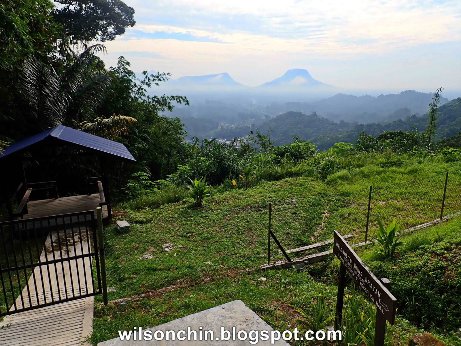
My team and I gather at about 7am in the morning for breakfast, some of my friends are already on their way to Santubong, while we are still having breakfast. So without waiting any time, we quickly finished ours too, and start our journey.

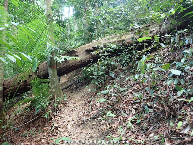
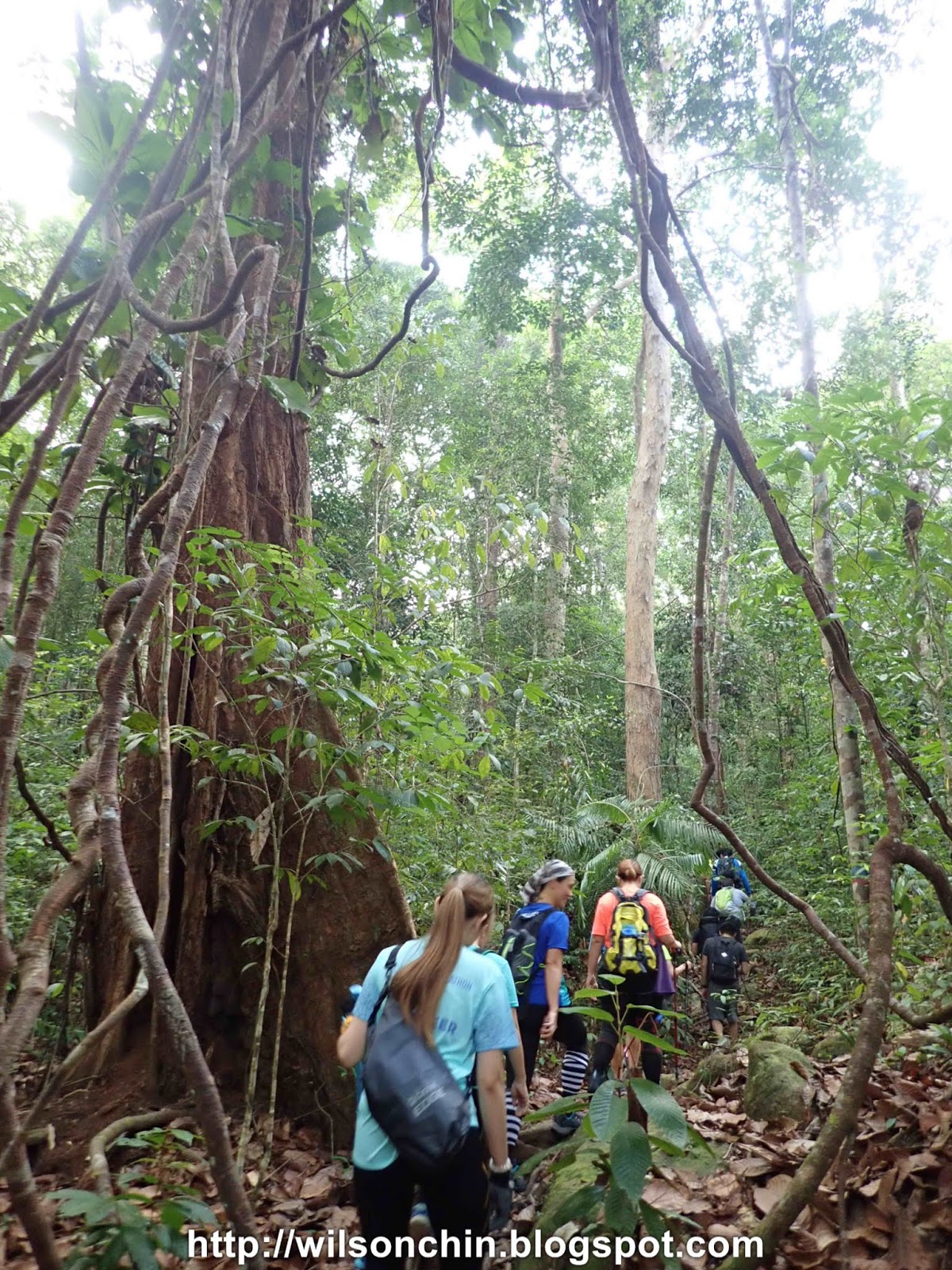
The trail starts at the usual jungle trail at the Permai rainforest resort, at first follow the waterfall trail (blue & red marking), then follow the red marking trail to summit 4. The whole journey takes about 2 hours. First part of the hike are mostly navigating through big stone and ridges, and the 2nd half of the hike is steeper, so more energy needed.
The Santubong national park belongs to Hill Mixed Dipterocarp Forests, humid, warm, you will sweat a lot hiking under the trees canopy. For this trail, there are no creek to refill water, be sure to bring enough drinking water. If your a novice hiker, will suggest you bring 3 litters, if you hike a lot, 1.5 will be enough. Remember to wet your mount every now and then, so you will not get thirsty easily.


 The final stretch of the hike will require a bit of rope climbing, the ropes are prepared by the amateur hikers who visited that viewpoint several times. It helps a lot, and it's also possible to do it without the rope. All depends on the fitness on each individual.
Then, you will be reward by the breathtaking view of the coastal line of the Santubong mountain, both the west and east coast can be seen from the view point. Further out will be the south China Sea.


 Overall, its a fun trail to hike, because its a National Park, I can see many big trees, and huge vines. Those are the thing that I am happy the most. Also very enjoyable on hiking together with my team again.


 |
| Few friends did not hike a lot, so are slowly following from behind. |


Then, you will be reward by the breathtaking view of the coastal line of the Santubong mountain, both the west and east coast can be seen from the view point. Further out will be the south China Sea.
 |
| A carving on the rock surface of the viewpoint, read as B. Scout, A.D 19.5.65, please leave a commend if you have any solid info about this, is this belongs to the Boy Scout? They visited this place on the year 1965? |


 |
| Moving on will be the summit peak of no.5, 6, and 7 |
 |
| The viewpoint of the summit 4.5 |
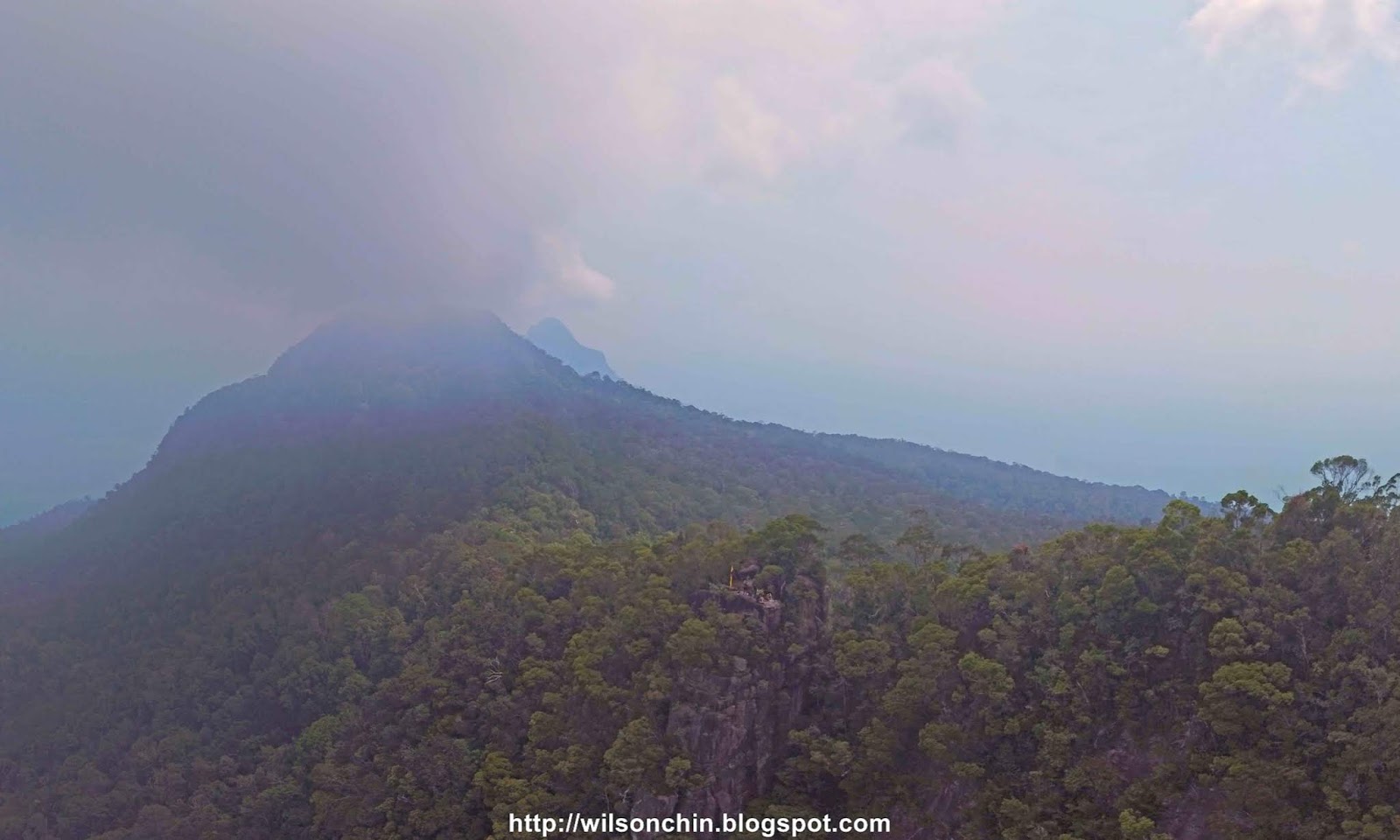 |
| Haze all over the sky, not a good month for outdoor activity. Behind the viewpoint will be the peak number 5, 6, and 7 at far end. |
 |
| The East-coast of the Santubong Peninsular |


TRAIL DETAILS