This trip is to explore the east side of the Santubong peninsular, and continue with a steep hike up to Santubong summit no.3 at 815m ASL. The total trip took me about 15 hours to complete, and this is the first time I hike for so long in one day.
Start our journey at the Jalan Sultan Tengah, 400m away from the Cove 55 hotel. We start at 6am sharp.


A lot of steam crossing, I hike to this place before while on my way to Nanga Shanti.

Crystal clear stream flows all the way from Santubong, and our mission today is to explore to the source of this stream.


Unknown fruits on the bank.

The Santubong Eastern Waterfall, estimate about 40 meter drop. One of the highest waterfall in Kuching area. Reach this waterfall at 10.40am


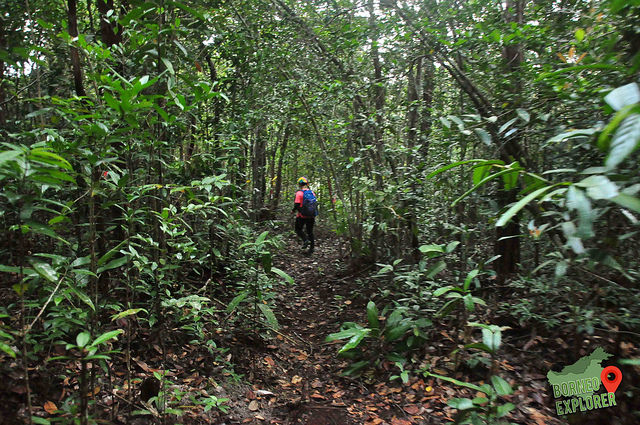
Continue on with our jorney to Santubong Summit No.3


Almost reach the source of the waterfall, from this point onwards the water are getting less and less.

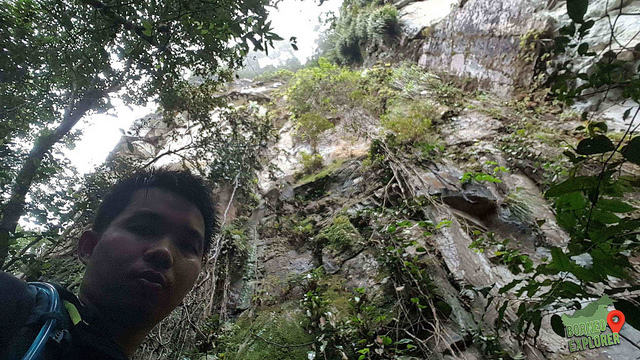
Breathtaking view on the edge of the cliff


Finally reached Santubong summit no.3 at about 4.30pm
A very challenging trail, and we all had reach the Santubong park HQ at 10pm.
INFORMATION ABOUT MY TRAIL
Don't tell anyone outside Sarawak ;)
Look forwards to your reply! Have a nice day/evening.