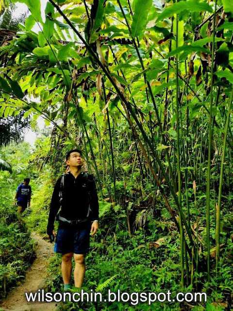
In the year 2015 was my first visit to Kampung Kiding, as my friends and I hike all the way up from the base until Kampung Kiding (the very last village)
One of the big improvement for this place its now they have Tar Road all the way from the base until the last kampung (village)
Unlike back in the old days, so now in order to hike to this place, it is also compulsory to hire a local guide from the ketua kampung. The guide in yellow, he is in his 70s, retires Sarawak forestry staff, so now he follows us to go hiking most of the time.
There are many bamboo bridges along the way, and the village maintains all these really well.
Kampung Kiding it's one of the many kampung which situated inside the meteor crater from millions of years ago. In which created all of these wonderful landscapes.
Due to its unique geographical landscape, this kampung it's situated at an average of 450 meter above sea level.
Bamboo shoot, a local delicacy, very tasty if you cook it with curry.
My friends are mostly in their senior stage, so it took us quite some time to hike, as we will stop occasionally for rest, photos, and chitchat.
I remember that in school, I was being taught by counting the annual rings of wood growth inside the tree, we can know roughly how old its the tree.
For example, you look at this one here, easily reach up to 50 round circle and above. But to cut down a tree, you will only need less than an hour if using a chainsaw.
The trail to the waterfall it's beautiful, there are fruit trees, vegetable plantation, paddy field, small farm hut, running water connected with bamboo, and more.
This place has been clear quite a lot, I remember 5 years ago, this area it's still full of trees and vegetation. and now most of it its paddy
I like this view, the range its called the Bengoh Range. it's a long stretch of the mountain range which was created million years ago when a meteor hit this area.
A few times that I almost step on the paddy, because it's so tiny, and also looks the same as normal grass.
The Gareg Waterfall at Kampung Kiding
Trail Data
Diatance: 4km (one way)
Max Elevation: 574 m
Min Elevation: 319
Total Time: 2h 50m ← we stop a lot for photos and rest


Thanks
Elaine
014 693 2328 Bakas, he is the ketua kampung, contact him for arrangement.
019 599 8841 Ken, he is the guide, in case you can't reach Bakas.
Thanks for sharing.